Map from Playa Coyote to Samara
In dry season you can drive from San Francisco de Coyote to Samara with a simple passenger car. In rainy season some sections are difficult to manage even with a 4WD vehicle. Before heading off fill up on gasoline.
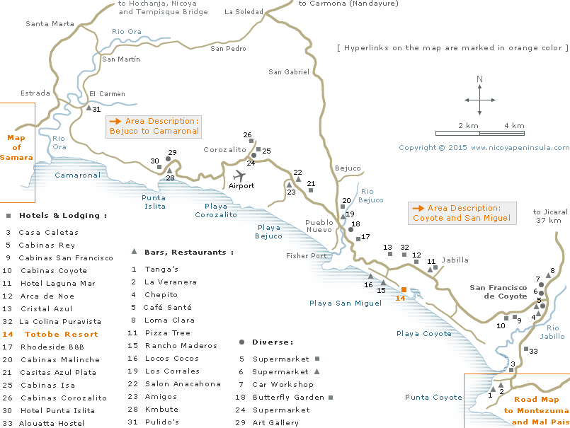
How to drive
From Samara /Carrillo to Islita:
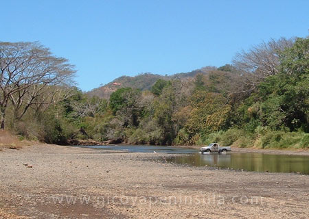
In dry season you can ford the Rio Ora at Estrada, 5 km north of Carrillo. 1 km after the river turn right and continue 10 km until Punta Islita.
With rains don’t try to ford the Rio Ora. Instead continue from Estrada uphill for 7 km until you get to Santa Marta where you turn right to the bridge over the Rio Ora.
From Malpais/Santa Teresa/Montezuma to Coyote: See » Manzanillo to Playa Coyote
From the mainland of Costa Rica:
To Coyote and San Miguel: From Puntarenas take the Ferry to Naranjo, then drive via Jicaral.
From Guanacaste drive to Carmona (Nandayure), where you turn right to Bejuco. The road over the mountains is usually in good condition and paved on the steep sections.
To Punta Islita: From Guanacaste drive to Hojancha and continue 20 km to Santa Marta where you turn left to the bridge over the Rio Ora. (If coming from Samara see above.)