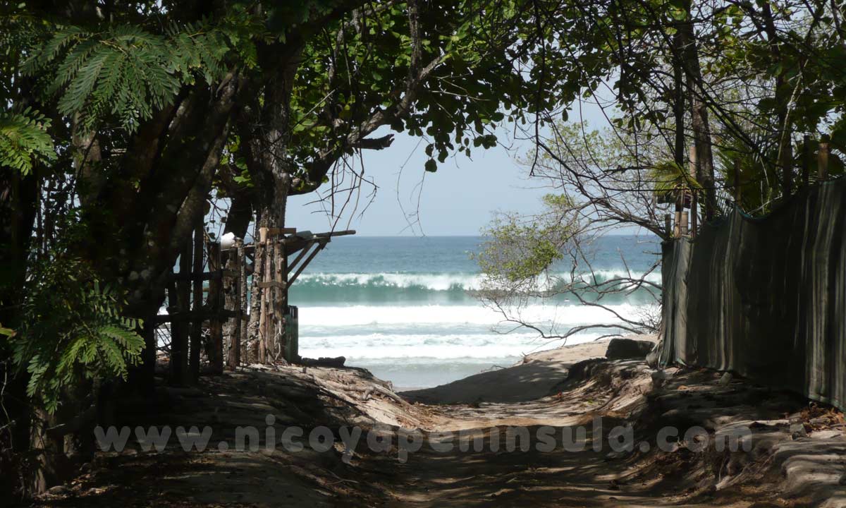
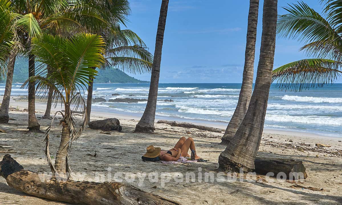
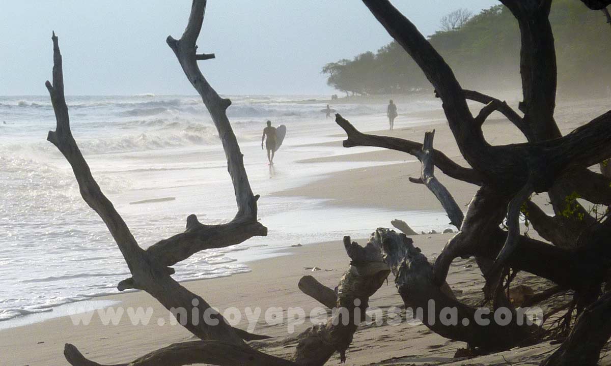
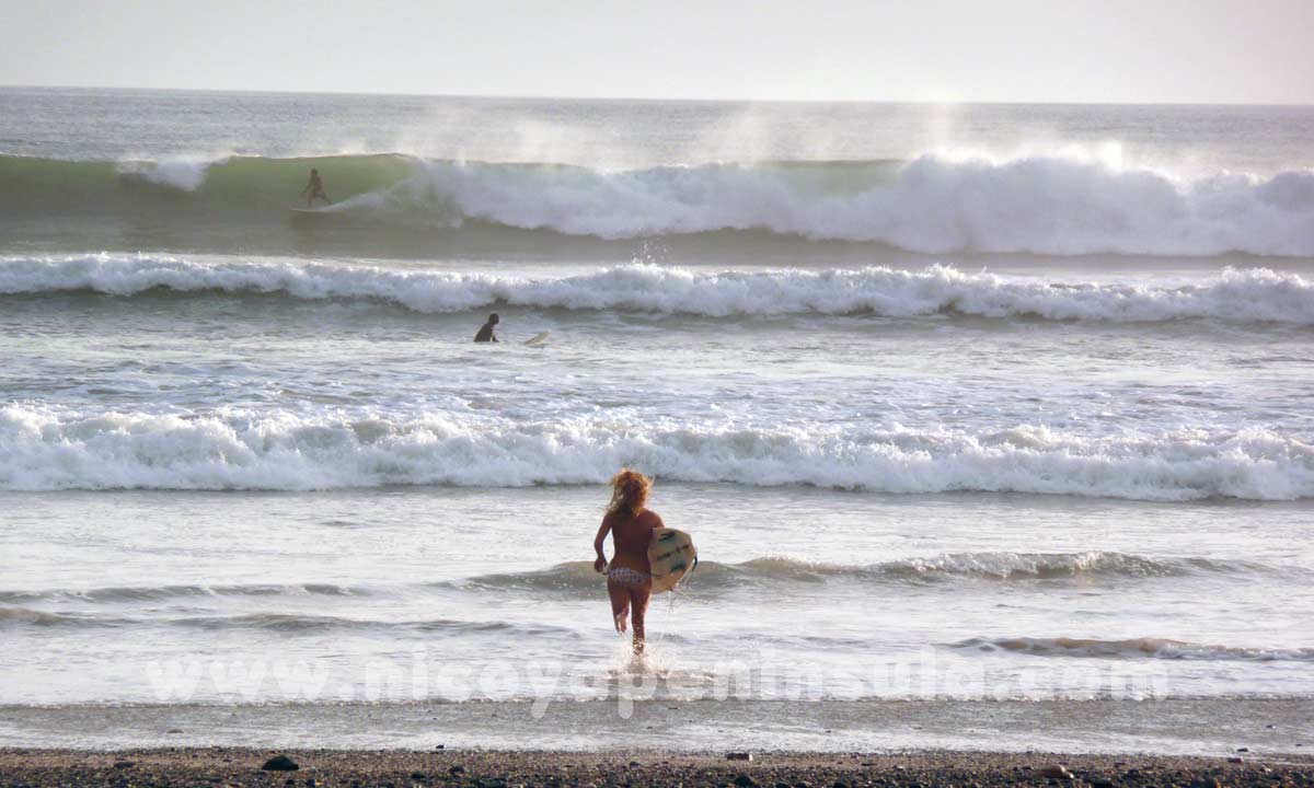
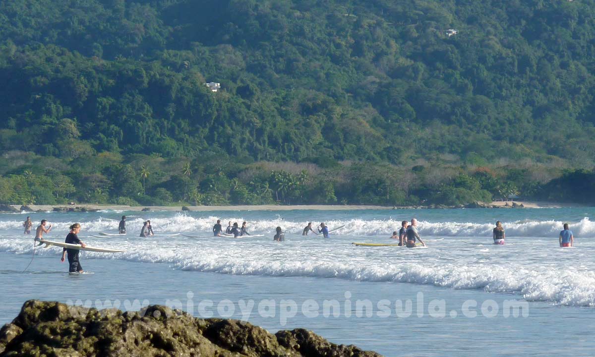
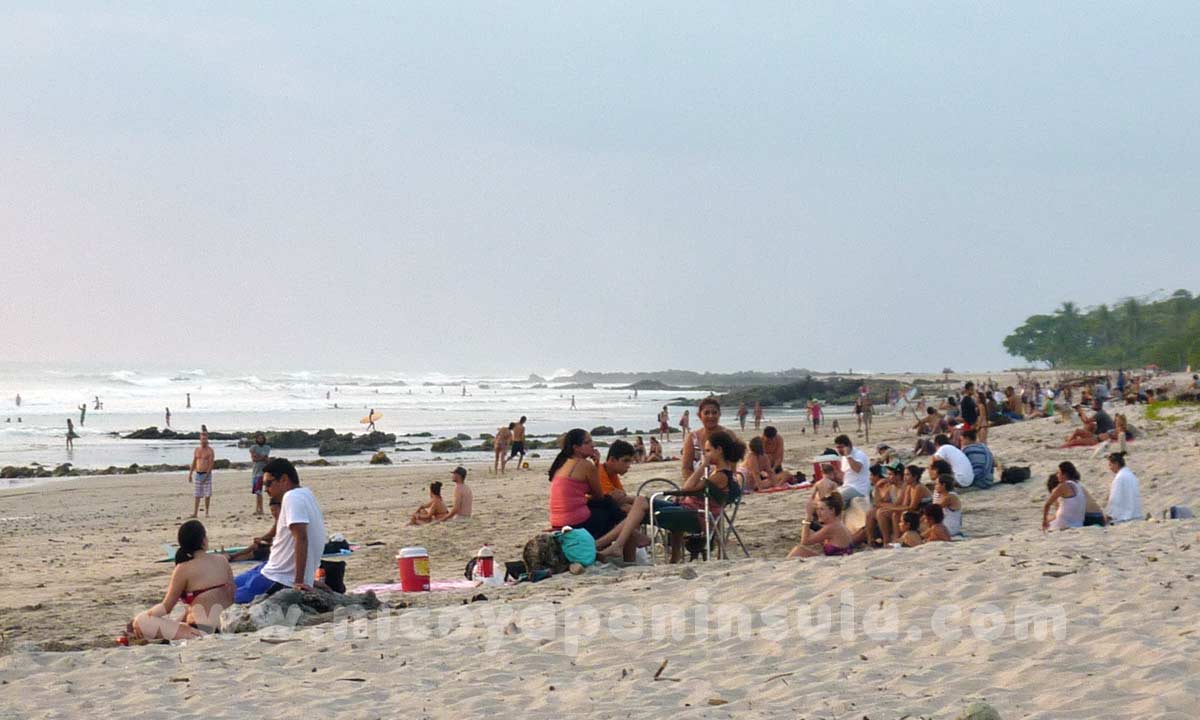
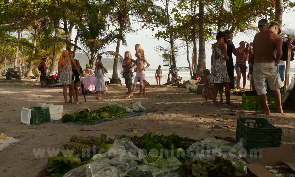
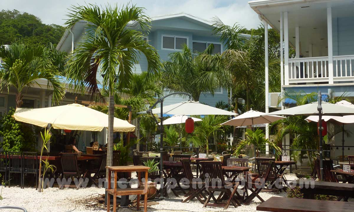
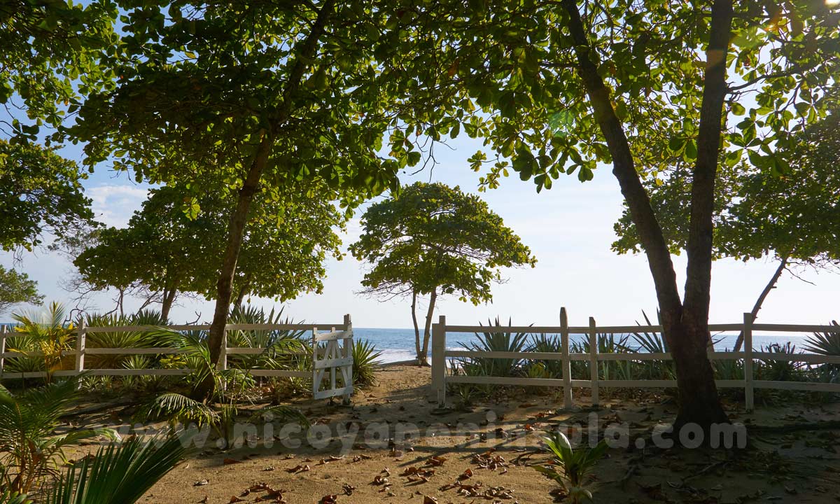
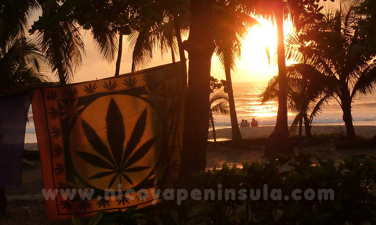
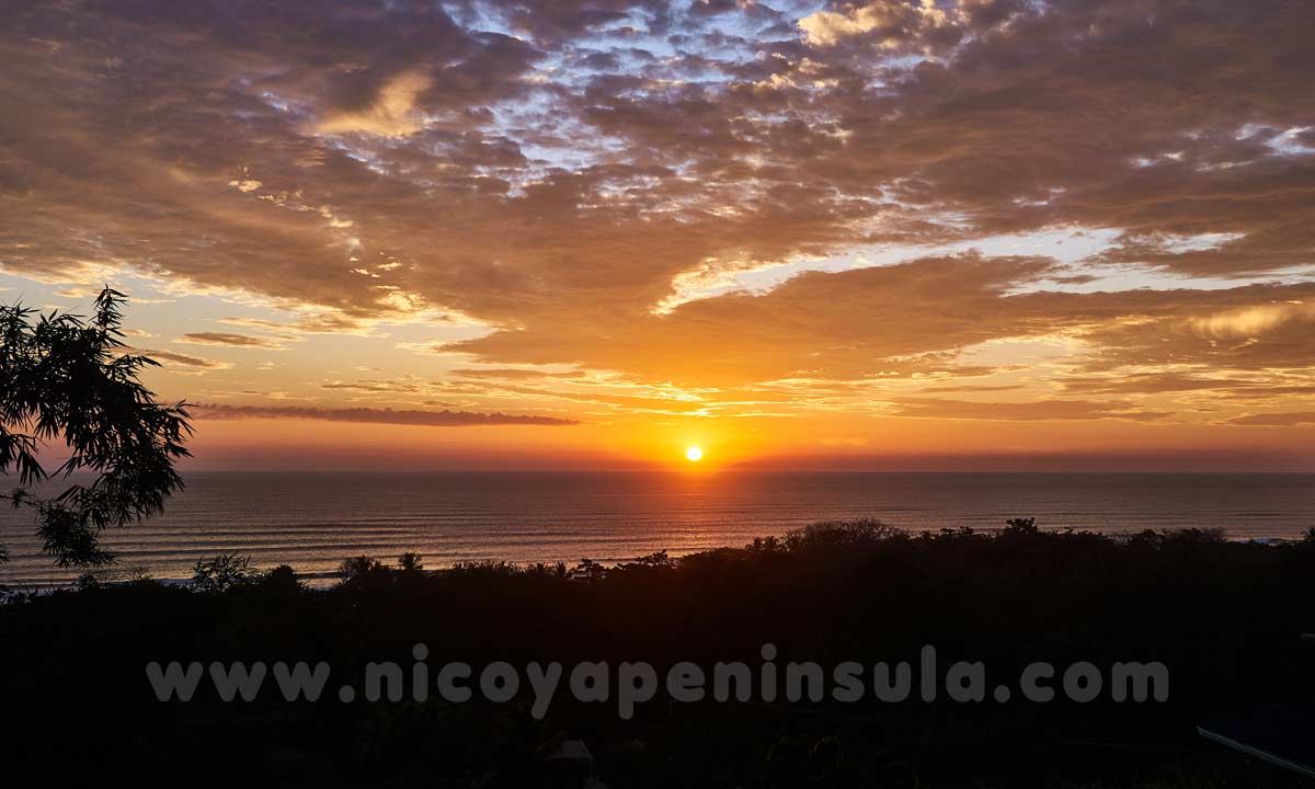
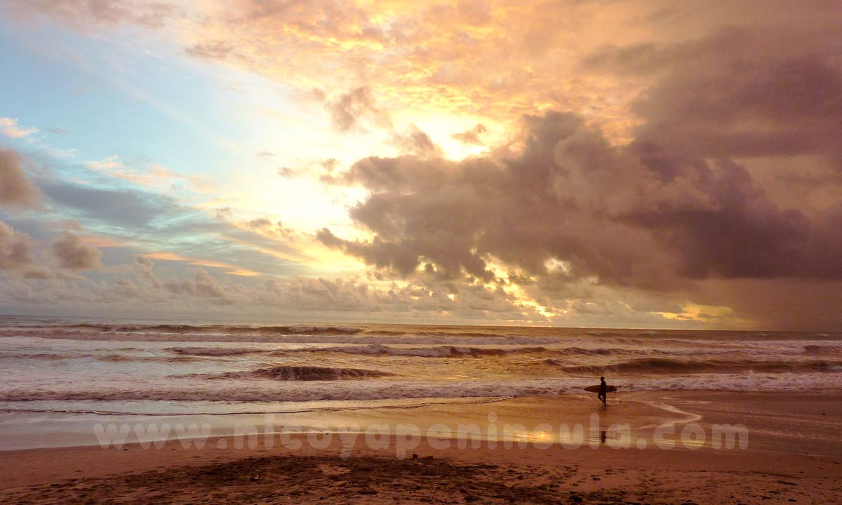
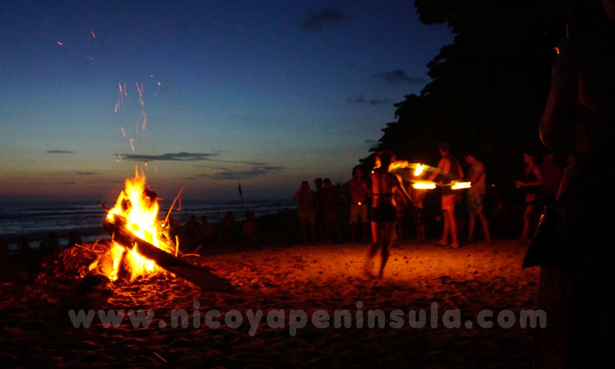
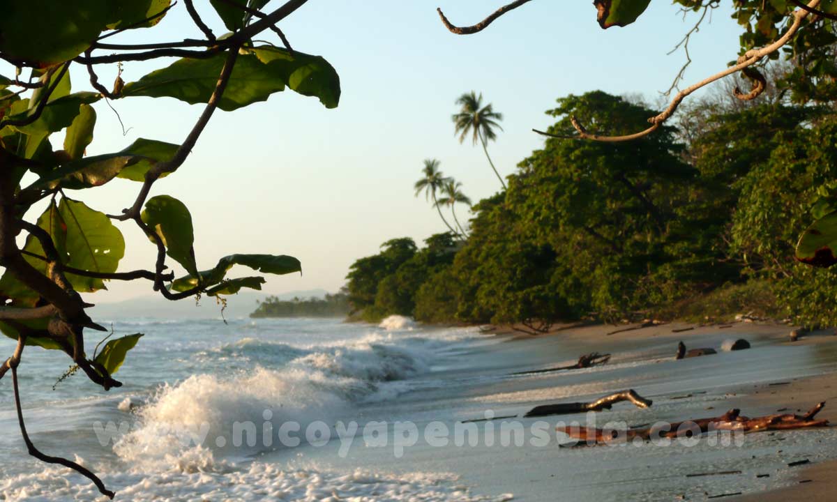
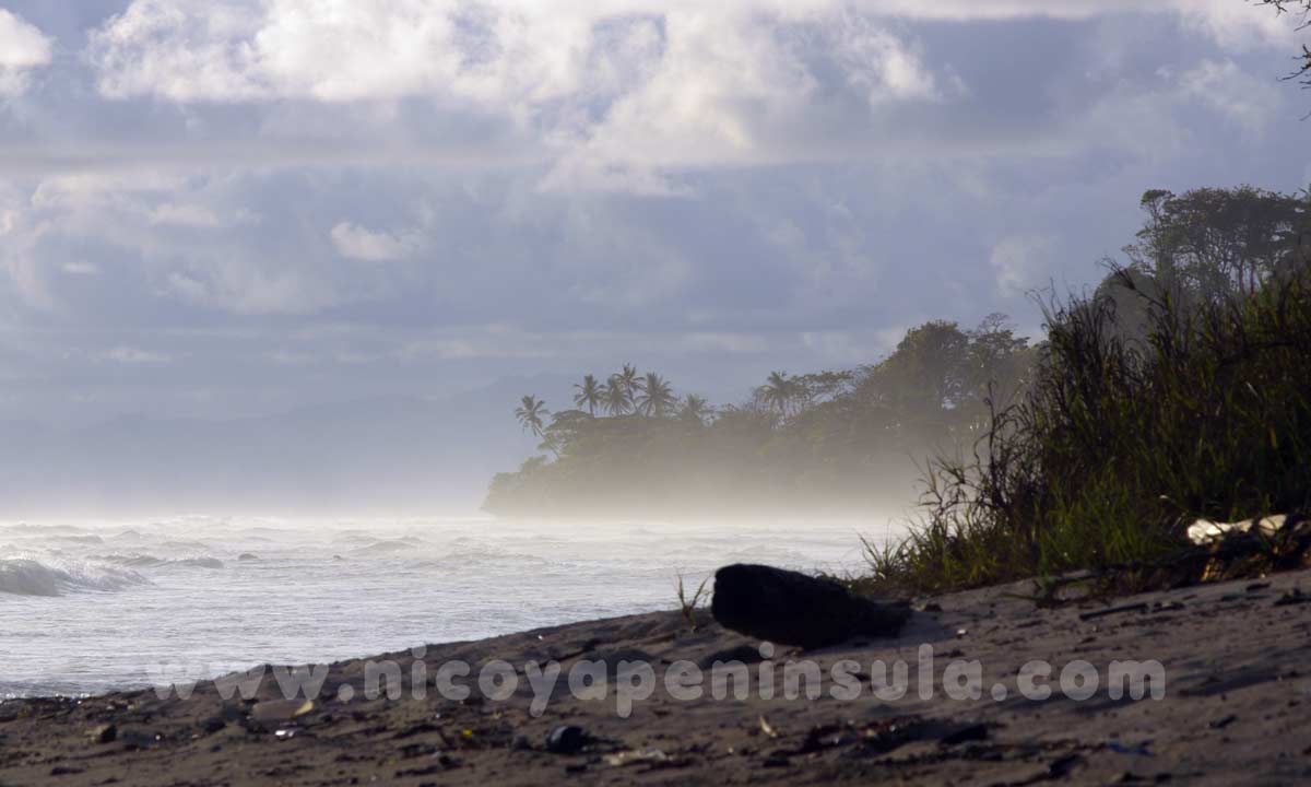
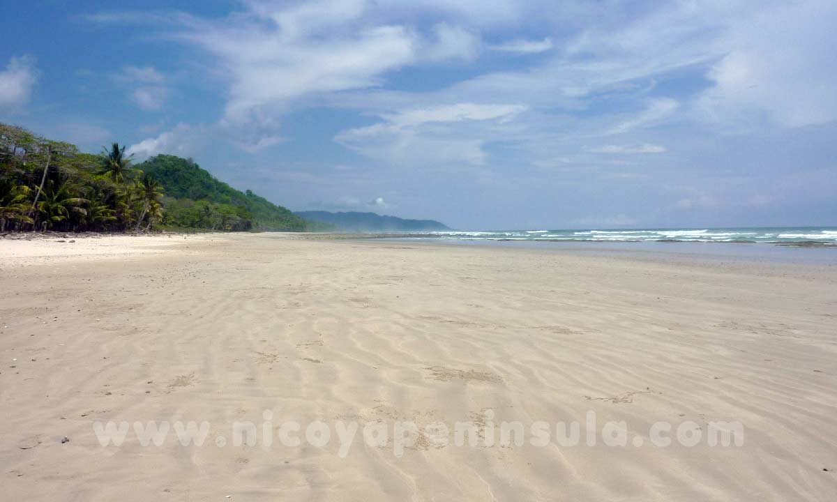
Skip to content

COSTA RICA   Nicoya Peninsula

Peninsula de Nicoya Travel and Vacation Guide

Pictures of Santa Teresa

Pictures of Santa Teresa


Path to the beach of Playa Santa Teresa

Playa Santa Teresa

A nap under palm trees

Surfer on the beach

Perfect waves in Santa Teresa

Surfers on Playa Carmen

During high season the beach and village of Santa Teresa are crowded

Farmers market on Playa Carmen Saturday afternoon

In the courtyard of the Playa Carmen Mall you find delicious food

Families gather by the soccer field on Sunday afternoons

Santa Teresa stretches along 7 km of bumpy dirt road

The downside of development: land owners destroying nature and animal habitat

Water is scarce in Santa Teresa. In dry season many places have to buy water from trucks

Door to the beach

Watching the sunset is a daily routine in Santa Teresa

Sunset seen from an oceanview restaurant in Playa Carmen

Surfer in rainy season

Fireshow on a beach party

North of Santa Teresa: Playa Hermosa


The Peñon, North of Santa Teresa

Along the beach to Playa Hermosa

Along the beach to Playa Hermosa

View from a hill to Playa Hermosa

Beach at high tide

The wide beach of Playa Hermosa at low tide

Gone are the times where you found Playa Hermosa deserted

Playa Hermosa has become a popular spot for surf beginners

Another sunset in Santa Teresa

Santa Teresa Photography by Pia Pfau

More picture galleries:

» Mal Pais
» Montezuma & Cabuya
» Samara
» Tamarindo

  • Español
  • Nicoya Peninsula
  • Wildlife Guide
  • Getting around
    • Overview Map
    • Ferry Schedules
    • Bus Schedules
  • Southern Region
    • Santa Teresa
      • Santa Teresa Map
      • Surf Spots
      • Practical Information
      • Pictures of Santa Teresa
      • Manzanillo
      • Driving to Samara
    • Malpais
      • Malpais Map
      • Diving
      • Pictures of Malpais
    • Montezuma
      • Cabuya
      • Pictures of Montezuma
      • History
    • Cobano
      • Cobano Fiestas
    • Tambor
      • Tambor Map
    • Gulf of Nicoya
      • Islands in the Gulf
      • Karen Mogenson Reserve
      • Kayaking
      • Puntarenas
  • Northern Region
    • Tamarindo
      • Map
      • Surf Information
      • Playa Grande
      • Avellanas
      • Pictures
    • Junquillal
      • Playa Negra
    • Nosara
      • Map of Nosara
    • Samara
      • Carrillo
      • Samara to Nosara
      • Pictures
    • Coyote & San Miguel
      • Islita, Bejuco, Camaronal
      • Map Coyote to Islita
    • The Town of Nicoya
      • Map of Nicoya
      • Monte Alto Nature Reserve
      • Fiestas and Traditions
  • Nature Reserves
    • Overview and Map
    • Cabo Blanco
    • Curu
    • Ostional
    • Barra Honda
    • Palo Verde
    • Botanic
      • Mangroves
      • Orchids
      • Gingers
      • Heliconias
  • More Travel Info
    • Weather
    • Travel Safety
    • Driving with a Car
    • Flights
    • Costa Rica
Copyright © 2002 - 2025 Pia Pfau. All rights reserved.
 Terms of Use Ticopages Web Design About me / Contact